

Nautical chart navigation
Anticipation and preparation are essential for navigating optimally and safely. This 14-hour course, based on the offshore powerboat licence extension program, covers the following topics:
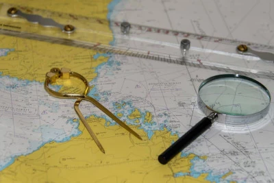
- in-depth reading of charts
- positioning (geographic coordinates, bearings, relative bearings, alignments, soundings, etc.)
- plotting a course and dead reckoning while accounting for current, wind leeway, magnetic variation, and compass deviation
- calculating a compass heading for a multi-hour crossing
- tide calculations (rule of twelfths, tidal curves) and currents
- knowledge of onboard electronic and safety equipment
- interpreting meteorological situations
- routeing charts and pilot charts…
Required equipment:
- a 0.7 mm HB mechanical pencil
- an eraser
- a non-programmable calculator
- note-taking supplies
- a plotter (Breton, Portland, Topo, or possibly a Cras ruler)
- a SHOM 9999 chart
- a pair of dividers.